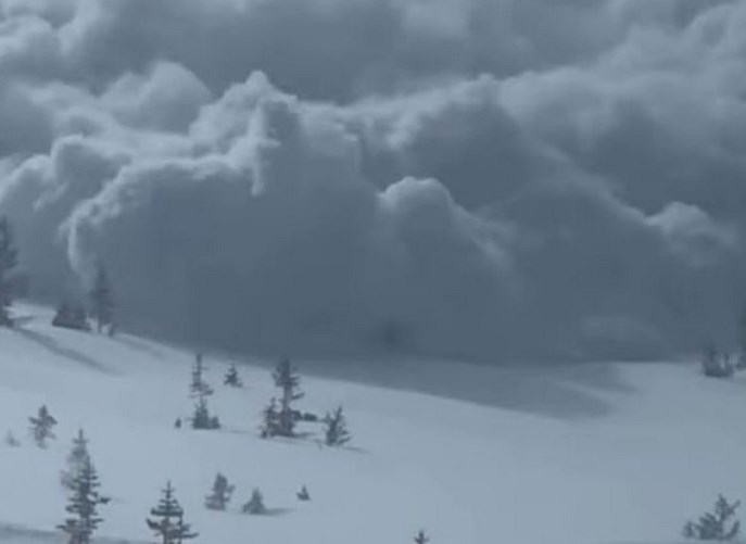
ISRO released Images of Uttarakhand Glacier Burst
The Indian Space Research Organisation (ISRO) has released the first images of the glacier burst that happened in the Chamoli district of Uttarakhand. The glacial burst has so far caused 32 lives. After the incident, more than hundred people are still missing.
Highlights
- The satellite images show that flash floods were reported in Rishi Ganga and Dhauli Ganga river catchment areas.
- The flash floods were caused due to major snow avalanche closer to the Raini village of Chamoli district.
- The images show that power plants located at Raini and Tapovan have went through the maximum damage in the glacial burst.
- One image shows the deposition of debris in Dhauli Ganga.
- Other image shows the damage occurred to the dam infrastructures at Tapovan and Raini.
- These images were captured by the ISRO’s advanced earth imaging and mapping satellite CARTOSAT-3.
What caused the glacial burst?
scientists are still investigating about the reason for the glacial burst or the avalanche or the release of the accumulated water. Bu the experts are pointing that climate change can be blame. This is so because, the warming temperatures is resulting into the shrinking of glaciers across the world.
CARTOSAT-3
It is an advanced Indian Earth Observation satellite. The satellite has been built and developed by Indian Space Research Organisation (ISRO). It replaced the IRS series. The satellite comprises of a panchromatic resolution of 0.25 metres. Thus, it is the imaging satellite having highest resolution in the world. It has Mx of 1 metre with a high-quality resolution.
Uses of CARTOSAT-3
Satellite is used to map the weather, in the cartography or defence, and in the strategic applications
Features of CARTOSAT-3
The satellite has a resolution of 25 cm. It uses 1.2 m optics. The satellite uses the optical devices, adaptive optics, and in-orbit focusing using MEMs. The age of the satellite is 5 years.
Month: Current Affairs - February, 2021


