NBSS&LUP Develops India’s First Soil Texture Map
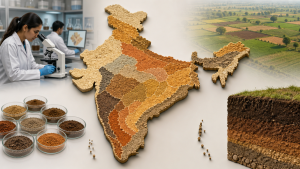
The National Bureau of Soil Survey and Land Use Planning (NBSS&LUP), headquartered in Nagpur and functioning under the Indian Council of Agricultural Research (ICAR), has developed India’s first soil texture map. The map provides digitised soil classification data at the hectare level across the country and was released on 16 July 2026.
Soil Texture as a Soil Property
Soil texture refers to the relative proportion of sand, silt, and clay in a soil sample. It is a basic physical property used in soil classification, land-use planning, irrigation design, and crop suitability assessment.
Methods Used in Soil Mapping
NBSS&LUP compiled the map using field studies, remote sensing, satellite imagery, and artificial intelligence. These methods are used in modern soil survey work to combine ground observations with geospatial analysis and digital classification.
Use in Crop Planning and Land Management
The map is designed to help farmers identify suitable crops for specific plots of land. It also provides village-level data for agricultural planning, crop suitability mapping, and allocation of resources by government agencies.
Important Facts for Exams
- NBSS&LUP is a national institute under ICAR and is based in Nagpur, Maharashtra.
- Soil texture is determined by the proportion of sand, silt, and clay in soil.
- India’s first soil depth map was developed and released one year before the soil texture map.
- NBSS&LUP was accorded official status in 1976 and marked 50 years in 2026.
Relevance for Indian Agriculture
India has small average farm sizes and large variation in soil characteristics over short distances. The bureau’s next project is mapping the water retention and absorption capacity of soils, with focus on Maharashtra and Southern India.
| Related | |
|---|---|