Page-5 of Indian Geography
Bundelkhand Expressway
The Prime Minister laid the foundation stone for Bundelkhand Expressway in Uttar Pradesh. The 15 thousand crore INR project will improve connectivity in the Bundelkhand region. Bundelkhand Expressway...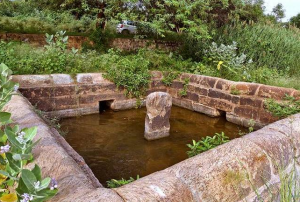
Nilayur Tank
Nilayur Tank is an ancient water conservation measure located in Tamil Nadu. Its origin can be traced back to the Pandyan period. As it is still alive and...Almatti Dam
The Almatti Dam is a major hydroelectric and irrigation project built across the Krishna River in Bagalkot district, Karnataka. It forms an important component of the Upper Krishna...Bhabar Belt
The Bhabar Belt is a narrow geographical zone situated at the foothills of the Himalayas, extending from Jammu in the west to Assam in the east. It represents...National Waterways
National Waterways in India are inland navigation routes designated for transport, trade, and economic development. They form part of the country’s inland water transport (IWT) system, which aims...
Chenani-Nashri tunnel
Chenani-Nashri Tunnel, also known as Patnitop Tunnel, is a road tunnel in the Indian state of Jammu and Kashmir on NH 44 (former name NH 1A before renumbering...
Roopkund Lake
The Roopkund lake is a high altitude glacial lake which is located in a remote location in the Indian state of Uttarakhand. About the Roopkund lake The lake...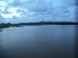
Rushikulya River Mouth
The Rushikulya river mouth, located on the eastern coast of India in Ganjam district, Odisha, is a prominent geographical and ecological site. It is internationally recognised as one...
Kharsawan
Kharsawan is a town and administrative subdivision in the state of Jharkhand, India. Historically significant as the centre of the Kharsawan princely state, it holds cultural and political...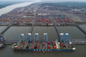
Jawaharlal Nehru Port
Jawaharlal Nehru Port, also known as the JNPT or the Nhava Sheva, is the largest container port in India. It is located to the?east of Mumbai city in...