Why is Indian Regional Navigational Satellite System (IRNSS) needed? How does it help in navigation? (UPSC 2018)
Indian Regional Navigational Satellite System (IRNSS), or NavIC, is needed to give India an independent and secure position, navigation and timing service. It was developed after the Kargil War, when dependence on foreign systems showed a strategic weakness. It also supports defence, critical infrastructure and disaster response.
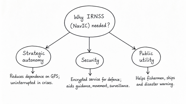
- Strategic autonomy: reduces dependence on GPS and ensures uninterrupted service in crises.
- Security: provides an encrypted Restricted Service for armed forces, useful in missile guidance, troop movement and border surveillance.
- Public utility: helps fishermen, ships and disaster warning systems with accurate location data.
- How it helps navigation: a constellation of GEO and IGSO satellites gives good visibility over India and up to about 1,500 km beyond it.
- Accuracy: dual-frequency signals reduce ionospheric delay and improve positioning.
- Services: offers Standard Positioning Service for civilians and Restricted Service for authorised users.
Thus, IRNSS strengthens India’s self-reliance, safety and regional navigation capability.
Originally written on
August 31, 2026
and last modified on
August 31, 2026.