Rajasthan to Launch AI-Assisted Crop Survey on August 1
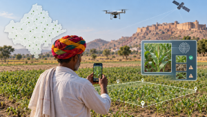
On July 31, 2026, the Rajasthan government announced that its digital crop survey for Kharif 2026–27 would begin across the state on August 1. It is planned to cover 41 districts, 424 online tehsils and 50,456 online revenue villages.
Survey technology and farmer participation
The survey will use geotagged crop photographs and digital verification for selected agricultural plots within a 20-metre khasra boundary using geofencing. For the first time, an Artificial Intelligence (AI)-based quality-testing system will analyse uploaded photographs and recorded crop details for possible errors or inconsistencies. Centroid Detection technology will help surveyors and patwaris take crop photographs more accurately. The target is for farmers to conduct the survey themselves on 25 per cent of the targeted plots through the Raj Kisan Girdawari app.
Important Facts for Exams
- Crop enumeration versus yield estimation: Digital crop enumeration identifies crops on individual parcels, whereas crop-cutting experiments estimate yields by harvesting and measuring selected sample plots.
- Khasra parcel identifier: A khasra number identifies a surveyed land parcel in Indian revenue records; seasonal girdawari entries record cultivation observed on that parcel.
- Centroid geometry: A polygon’s centroid is its area-weighted geometric centre; placing a photograph there can reduce boundary-edge errors but does not identify the crop.
- Crop records and land title: Recording a crop in a seasonal girdawari is distinct from changing ownership: crop-inspection entries do not themselves transfer land title.
| Related | |
|---|---|