Grounded Theory, Exploration, Excavation and GIS
Grounded theory is a systematic methodology used in qualitative research to construct theories based on data collection and analysis. It follows an inductive approach, moving from specific observations to broader generalizations and theories.
Key Stages of Grounded Theory
- Data collection and analysis occur concurrently rather than sequentially.
- Theoretical sampling involves selecting new data sources based on the concepts that emerge from initial data.
- Coding is the process of labeling segments of data. Open coding breaks data into discrete parts, while axial coding links these parts into categories.
- Selective coding identifies a core category that integrates all other categories into a unified theoretical framework.
- Constant comparison ensures that new data is continuously compared with established categories to refine the theory.
Archaeological Exploration
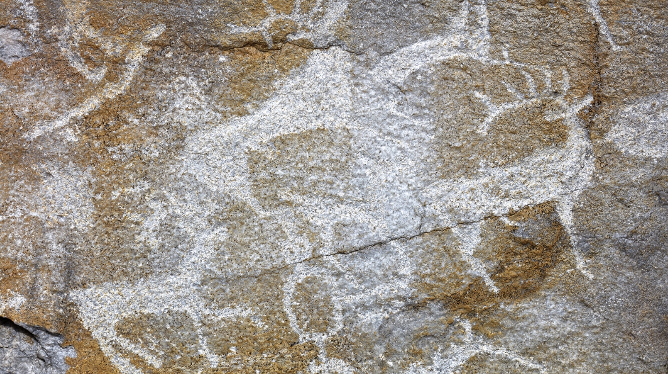
Exploration is the preliminary phase of archaeological research aimed at locating sites and understanding the spatial distribution of human activity across a landscape. It precedes excavation and minimizes unnecessary physical disturbance of sites.
Methods of Archaeological Exploration
- Field walking involves systematic physical inspection of a landscape to identify surface artifacts like pottery shards or stone tools.
- Local inquiry gathers information from residents, folklore, and historical documents regarding potential archaeological features.
- Aerial photography detects buried structures through variations in vegetation growth or soil color. Crop marks often reveal the outlines of hidden walls, ditches, or pits.
- Geophysical survey employs non-destructive techniques to map subsurface anomalies. Magnetometry measures variations in magnetic fields caused by buried features like hearths or iron objects. Ground-Penetrating Radar (GPR) uses radar pulses to detect buried structures, voids, or burial chambers.
Archaeological Excavation
Excavation is the systematic and scientific removal of soil and layers to recover physical evidence of past human activity. It is a destructive process, making meticulous documentation vital.
Types of Excavation
- Trial trenching or test pitting assesses the nature, depth, and chronological potential of a site on a small scale.
- Horizontal or area excavation uncovers a large section of a site to reveal the spatial relationships between features and structures within a single time period.
- Vertical or stratigraphic excavation aims to establish the chronological sequence of a site by digging deep through different layers or strata.
- Salvage or rescue archaeology occurs when a site is threatened by modern development, necessitating rapid documentation and recovery before destruction.
Fundamental Principles
- Stratigraphy follows the Law of Superposition, which states that in undisturbed layers, the oldest deposits are at the bottom and the youngest are at the top.
- Recording involves maintaining detailed logs, photographs, and scale drawings of all finds, features, and layers.
- Screening or sieving soil ensures the recovery of small items like bone fragments, seeds, or beads that might be missed during manual digging.
Geographic Information System (GIS) in Archaeology
GIS is a computer-based tool for capturing, storing, manipulating, analyzing, and displaying geographically referenced data. It integrates various layers of information to reveal patterns that are not visible through traditional analysis.
Applications in Archaeology
- Site predictive modeling uses environmental variables like proximity to water, slope, and elevation to predict the location of undiscovered sites.
- Spatial analysis examines the relationship between sites and their surrounding environment, such as trade routes, resource availability, and defensible positions.
- Visibility analysis determines the line of sight from a specific location, which is useful for understanding the placement of watchtowers or defensive structures.
- Landscape reconstruction layers historical maps, satellite imagery, and archaeological data to model how environments have changed over time due to climate or human impact.
Comparative Overview of Archaeological Methods
| Method | Primary Goal | Nature |
| Exploration | Site identification | Non-destructive |
| Excavation | Data recovery | Destructive |
| GIS | Spatial analysis and modeling | Analytical |
| Grounded Theory | Theoretical construction | Qualitative analysis |
Facts on Archaeological Research
- Grounded theory was developed by sociologists Barney Glaser and Anselm Strauss in the 1960s. It emphasizes that theory should be grounded in empirical data rather than imposed by preconceived hypotheses.
- Archaeological stratigraphy is often analyzed using the Harris Matrix. This is a system of recording that represents the chronological sequence of archaeological layers and features in a schematic diagram, allowing for a clear interpretation of complex site histories.
- Remote sensing has fundamentally changed archaeological exploration. Light Detection and Ranging (LiDAR) uses laser pulses to map the ground surface through dense vegetation. This technology has uncovered vast, previously unknown urban complexes in regions like the Amazon and Southeast Asia.
- Archaeologists use Absolute Dating and Relative Dating to build chronologies. Relative dating establishes the order of events, such as seriation based on artifact styles. Absolute dating provides a specific age, such as Radiocarbon (C14) dating for organic materials up to 50,000 years old or Thermoluminescence (TL) dating for fired pottery and burnt stones.
GIS data is composed of vector data, which represents geographic features as points, lines, or polygons, and raster data, which represents the landscape as a grid of pixels. Combining these layers allows researchers to overlay archaeological site distributions onto soil maps, topographic layers, and ancient hydrological models.
