
Forest Fire in Mizoram
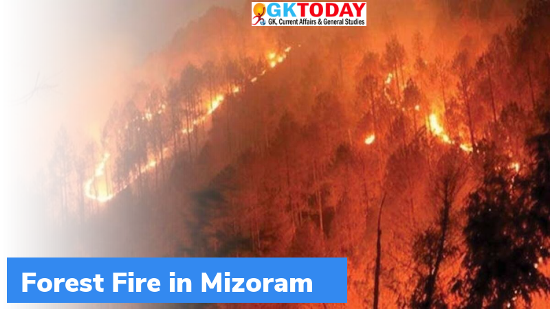
The Indian Air Force recently deployed two Mi-17V5 helicopters equipped with Bambi Bucket to control the forest fires. The forest fires have been raging in the hills of south Mizoram.
Most Fire Prone Zones
The Lunglei and Aizwal of Mizoram where the forest fires are currently raging is the most fire-prone zone in India according to the Forest Fire Disaster Management report, 2014. So far, Lunglei has recorded 13,453 forest fires between 2003 and 2016.
Forest Fires in Mizoram
- The fire season of the state is between February and May. The maximum incidents of fires are reported in the months of April and May.
- The state has increased number of forest fires due to Slash and burn or shifting cultivation, burning farm residues, collection of non-timber forest produces and clearance of land for other purposes.
- In 2021, so far, the VIIRS (Visible Infrared Imaging Radiometer Suite) has reported 1,604 fire alerts.
Forest Fire Disaster Management Report, 2014
- It was prepared by the National Institute of Disaster Management, New Delhi.
Strengthening Forest Fire Management in India Report
- It was jointly prepared by Ministry of Environment, Forest and Climate Change and World Bank.
- At least 60% of Indian districts are affected by forest fires.
- The states in the North East account for the greatest share of fire detections.
- The Central India is the largest area affected by forest fires.
Forest Survey of India, 2019
The Survey divided the forest fire prone into following zones:
- Extremely fire-prone areas accounted to 3.89% of total forest cover
- Very highly fire-prone areas accounted to 6.01%
- Highly fire prone areas: 11.50%
Together these three categories add up to 21.4% of forest cover.
Related Posts
Month: Current Affairs - April, 2021