
Interactive digital airspace map for drone operations released
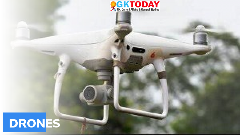
Ministry of Civil Aviation released an “interactive digital airspace map” for flying drones, that demarcates areas into different zones for flying drones across India.
Highlights
- Zones for flying drones also include yellow and red zones.
- The release of the map is in line with the revamped drone rules which are based on premises of self-certification and non-intrusive monitoring of the activities.
- Airspace map may be modified from time to time by authorised entities.
- Under the drone rules, that were notified on August 25, 2021, several permissions have been done away with. Number of forms required has been reduced from 25 to 5. Types of fees have also been drastically reduced from 74 to 4.
Zones of flying drone
- To fly the drone and for drone operations, interactive digital airspace map divides the zones into three categories namely, green, yellow and red.
- Green zone is the airspace up to 400 feet. This zone has not been designated as red or yellow zone.
- Yellow zone is the airspace above 400 feet in the designated green zone.
- Red zone is the area within which drones can be operated with the permission of central government.
Significance of Drones
Drones offer several benefits to all sectors of the economy, including agriculture, infrastructure, mining, surveillance, emergency response, geo-spatial mapping, transportation, defence, and law enforcement etc. Drones can also be significant creators of employment and economic growth because of their reach, versatility, and ease of use.
India’s potential as drone hub
Considering the traditional strengths of India in innovation, information technology, frugal engineering as well as huge domestic demand, it has the potential to become a global drone hub by 2030.
Related Posts
Month: Current Affairs - September, 2021