
Climate Hazards and Vulnerability Atlas of India
The scientists of CRS have created a climate hazards and vulnerability atlas of India. CRS is Climate Research and Services and it operates under India Meteorological Department (IMD).
About the map
The scientists created the map based on 14 extreme weather events. They also considered the risks and threats imposed by these 14 weather events on the local population and their economy. Here ‘local’ is pertained to district and not state or village.
Launched on Foundation Day of IMD
Every year, the Indian Meteorological Department celebrates its foundation day on January 14. The map was launched during this year’s celebrations. It was launched by the Union Minister of Earth Sciences Dr Jitendra Singh. The IMD was established in 1875. It operates under Minister of Earth Science. It is responsible for meteorological observations, seismology and weather events. It is one of the six regional meterological centres of the World Meteorological Organization.
Features of the atlas
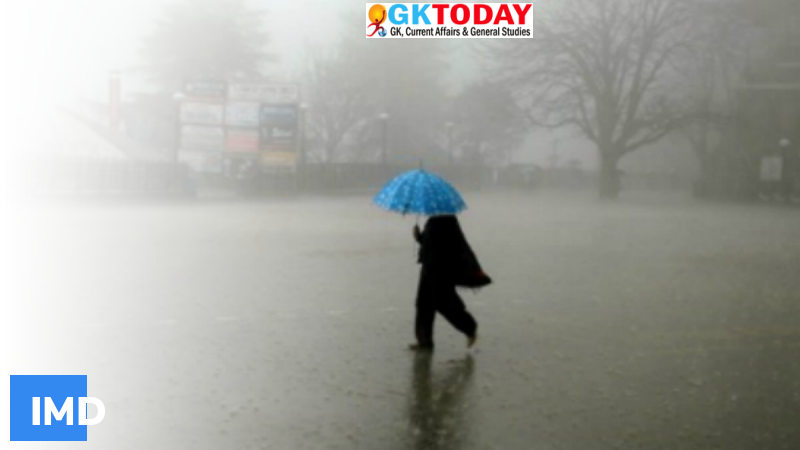
- It provides information about heat waves, cold waves, extreme rainfall, thunderstorm, lightning, and snowfall, cyclones, winds, and fog and hail storm.
- It provides vulnerability values and hazards values. These values were calculated using the historical climate data of the meteorological department.
- It provides month – wise hazard levels of each district.
- It has 640 maps. They all have categories ranging from moderate, low, high and very high.
- The map provides Normalised Vulnerability Index for each district.
Lightning causes highest casualties in India. It is followed by floods, cyclones and fog. They also cause high economic and livelihood losses.
Climate Research and Services
The headquarters of CRS is located in Pune. It provides weather forecast, AWS data, gridded data, radiation data, agro met data, and meteorological data.
Significance
The atlas helps to take precautionary measures. It uses disaster data, hourly autographic data, cyclone track data, daily rainfall data, population density data, storm surge data, etc.
Related Posts
Month: Current Affairs - January, 2022
Category: Environment Current Affairs