
Aerial Archaeological Mapping Explorer
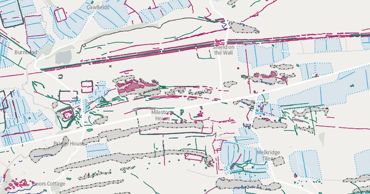
The Aerial Archeology Mapping Explorer is a tool that displays the entire archeology that has been mapped, identified and recorded from various aerial photographs and several other air sources throughout the country of England. England has allowed the results of more than 30 years of aerial mapping projects freely available online for the first time so that people could access it.
Highlights
The Mapping Explorer allows one to explore the layers and layers of archeology present in and around one’s location. A person can navigate the map and zoom in on any of the desired location or even search for a zip code, place name or address.
Creation of Aerial Archeology Mapping Explorer
The map summarizes the results of numerous projects that specialists from historic England and its predecessor organizations have carried out since the late years of 1980s, as well as several other partner organizations. Thousands of aerial photographs have been examined from 1920s to the present day. More recently, innovative technologies such as web-based sources such as GoogleEarth and Lidar (Airborne Laser Scanning) have been added to the parameters of archaeological searching. Each site has a simple description with links to the complete historical records of the environment that are kept online. Most areas also have a free report detailing the highlights and new discoveries for each project.
The new areas will be added to the map as soon as they are completed. Every year new features are discovered regularly in areas that have already been explored. These may come from the reconnaissance program as it uses the ground and weather conditions to target new flights or when more historical photos are available. Newer technologies like lidar add to the evidence in photographs by allowing to see things that are difficult, if not impossible, to see in photographs.