
Australian National University develops satellite to predict bushfire danger zones
Scientists at the Australian National University announced that they are designing the country’s first satellite to predict the bushfire danger zones.
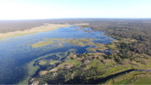
Australia has witnessed devastating bushfires across the country especially in South Wales. The proposed bushfires measure forest cover and moisture levels using infrared detectors. The resultant data would be used to determine where bushfires will probably start and where they would be difficult to control.